
Port Of DikiliPort & Tourism Enterprises Inc.
Scroll
Port Of DikiliPort & Tourism Enterprises Inc.
Port Of Dikili
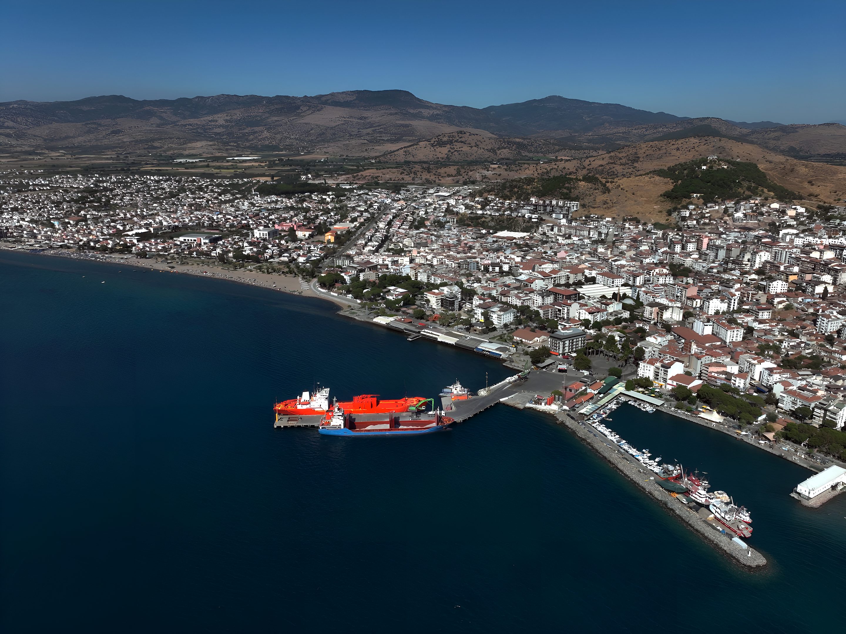
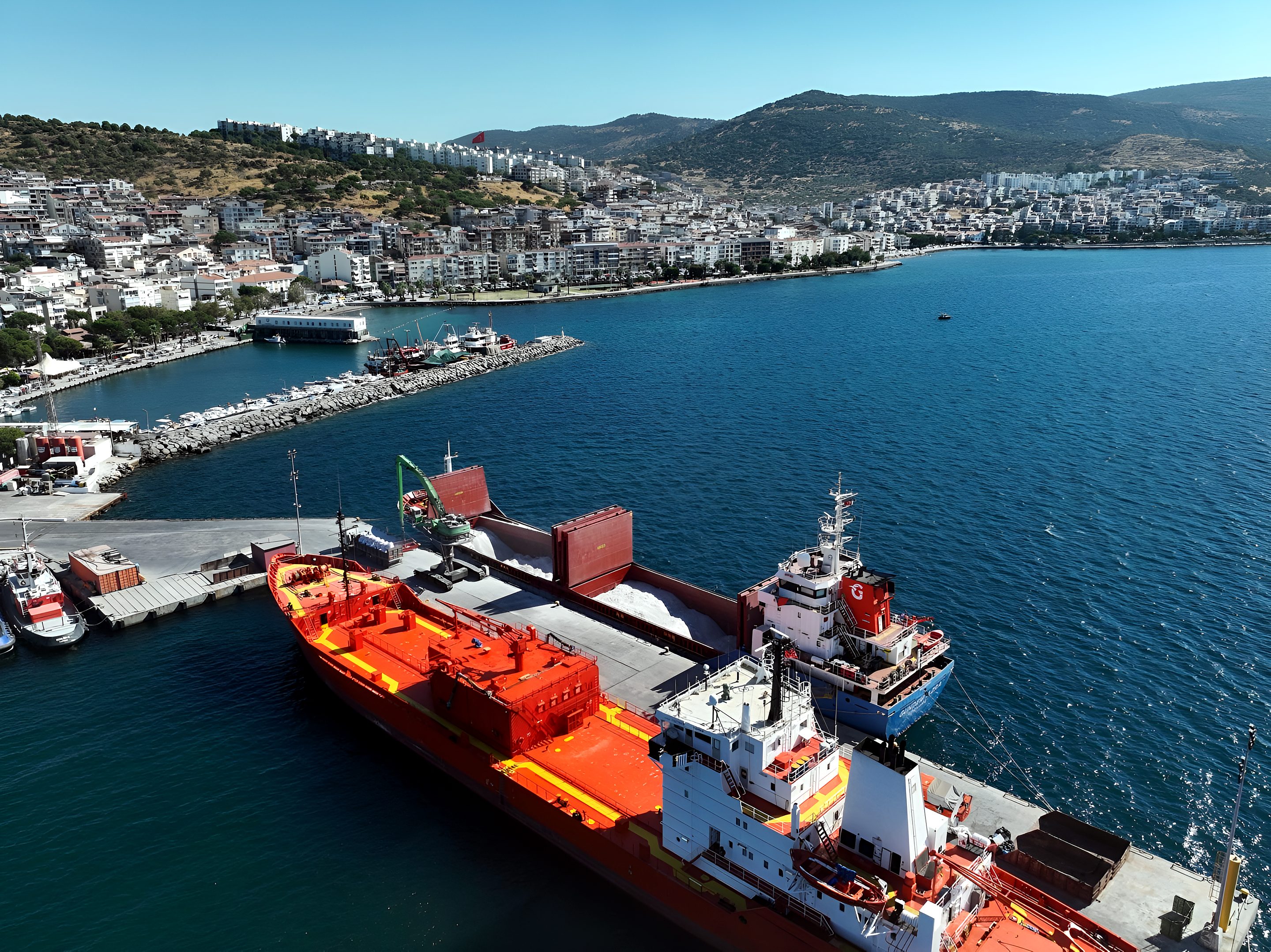
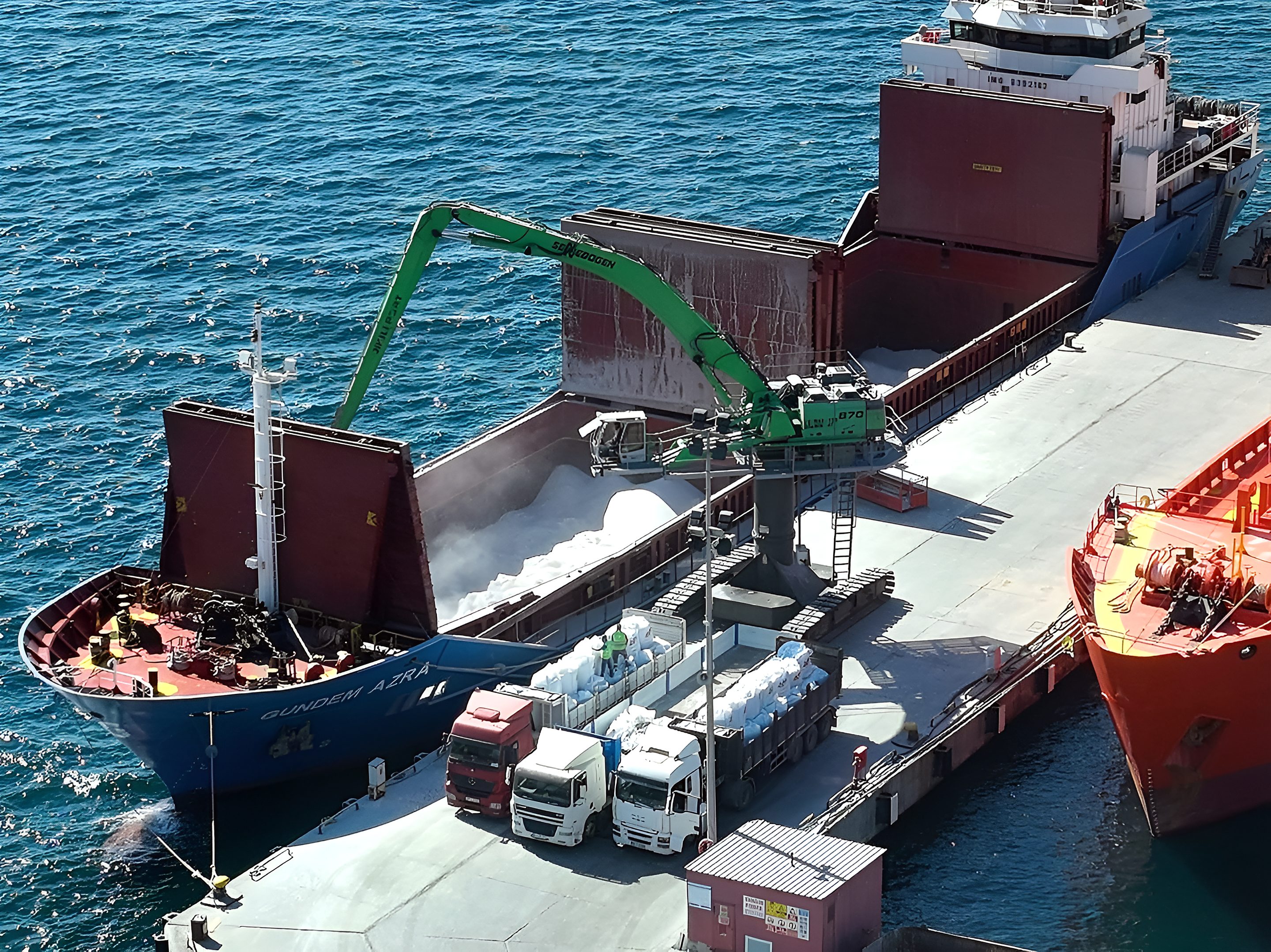
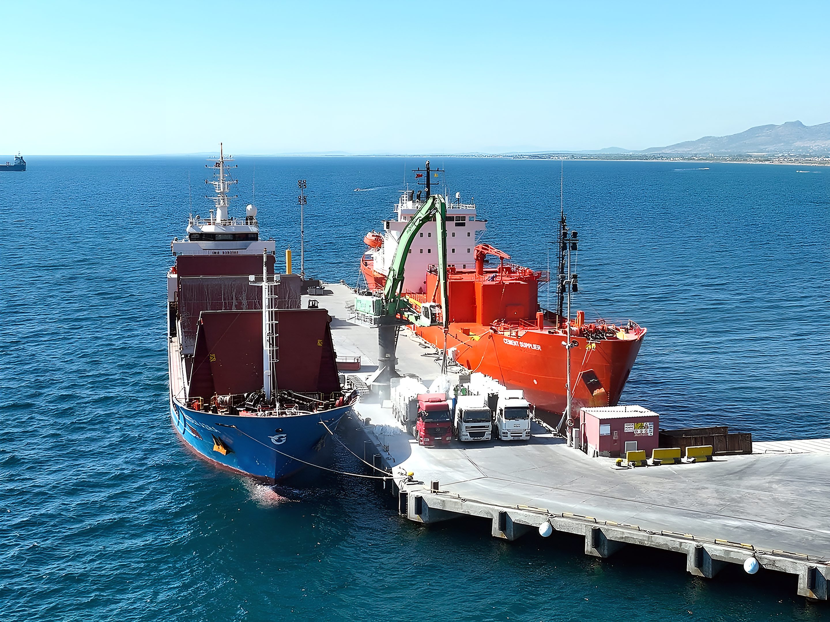
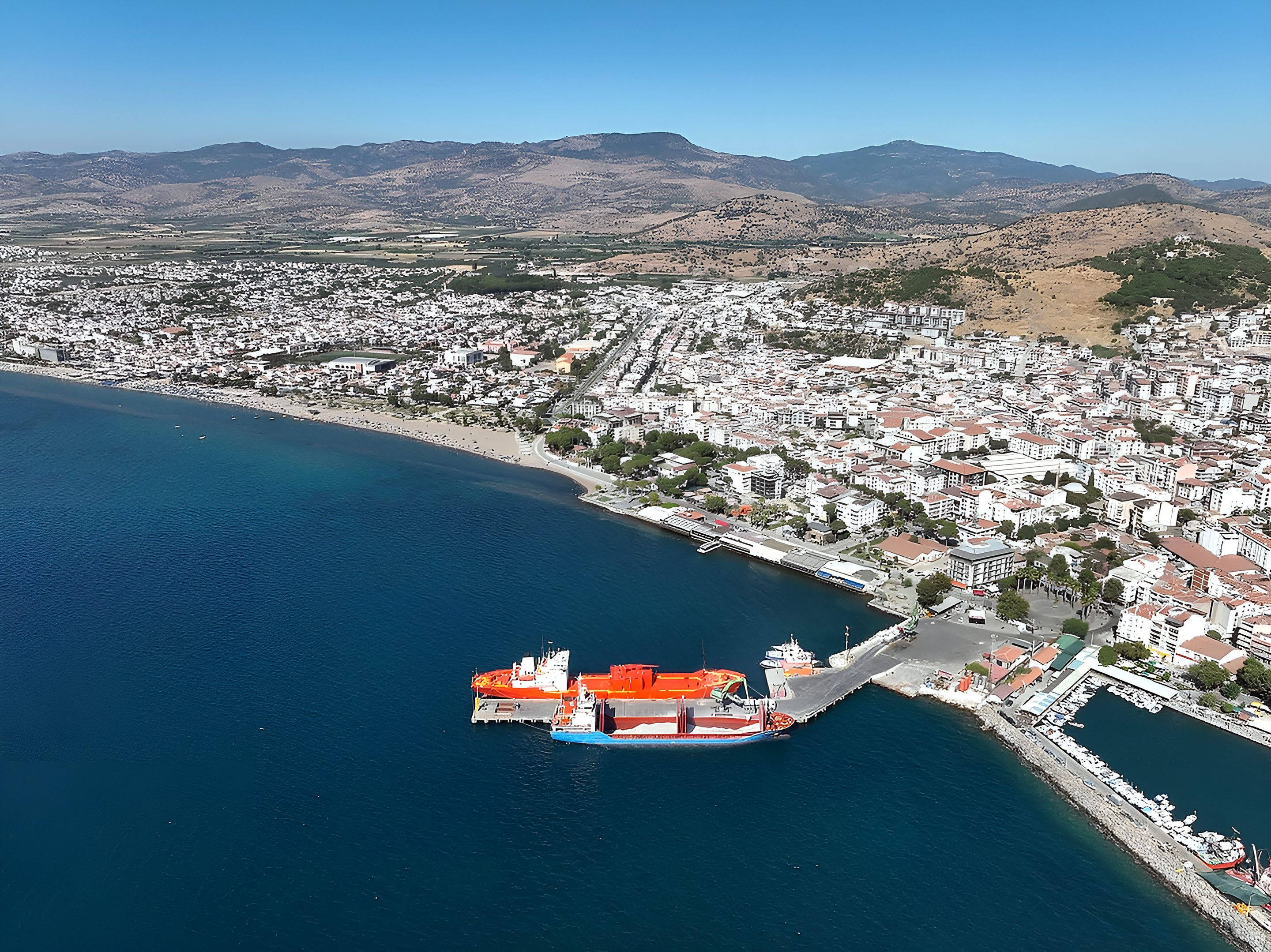
Located on the northern Aegean coast in the Dikili district of İzmir, the port provides cargo, passenger, towage and warehousing services in an integrated and coordinated manner.
Loading and discharge, passenger services and towage services are provided within a single organisation, in line with the needs of the region.
Follow vessel movements in the region and the berth and anchorage status of Dikili Port, together with wind, wave and precipitation forecasts. Weather layers show current forecast data up to 5 days ahead.
Open the map →To develop the Port of Dikili into a trade centre that delivers service to international standards, strengthens the logistics capacity of its region and stands out through sustainable port management practices.
To add value for our customers and contribute to the regional economy, guided by the principles of safe operation, high service quality and continuous improvement.

Our port operations are carried out within an ISO 9001:2015 Quality Management System, certified by CAS Certification under TÜRKAK accreditation. The full certificate is available in the port documents section.
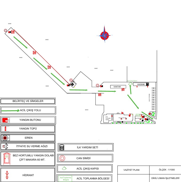
The 1:1000 scale layout plan of the port area. It shows the positions of the quay line, weighbridge, passenger terminal, waste reception facility and service buildings across the site.
The plan marks emergency escape routes, the assembly point and the emergency exit gate, together with fire call points, extinguishers, hydrants, hose cabinets, fire brigade water inlets, sirens, first aid kits and lifebuoys.
Click to enlarge ↗Tug serving in the port's berthing and departure operations.
Second tug used for berthing, departure and manoeuvring support.
The craft used to transfer pilot captains to and from vessels.
Electrical supply, yard lighting and ancillary facilities support port operations.
Access control, yard surveillance and security activities are carried out in line with applicable legislation and ISPS Code requirements.
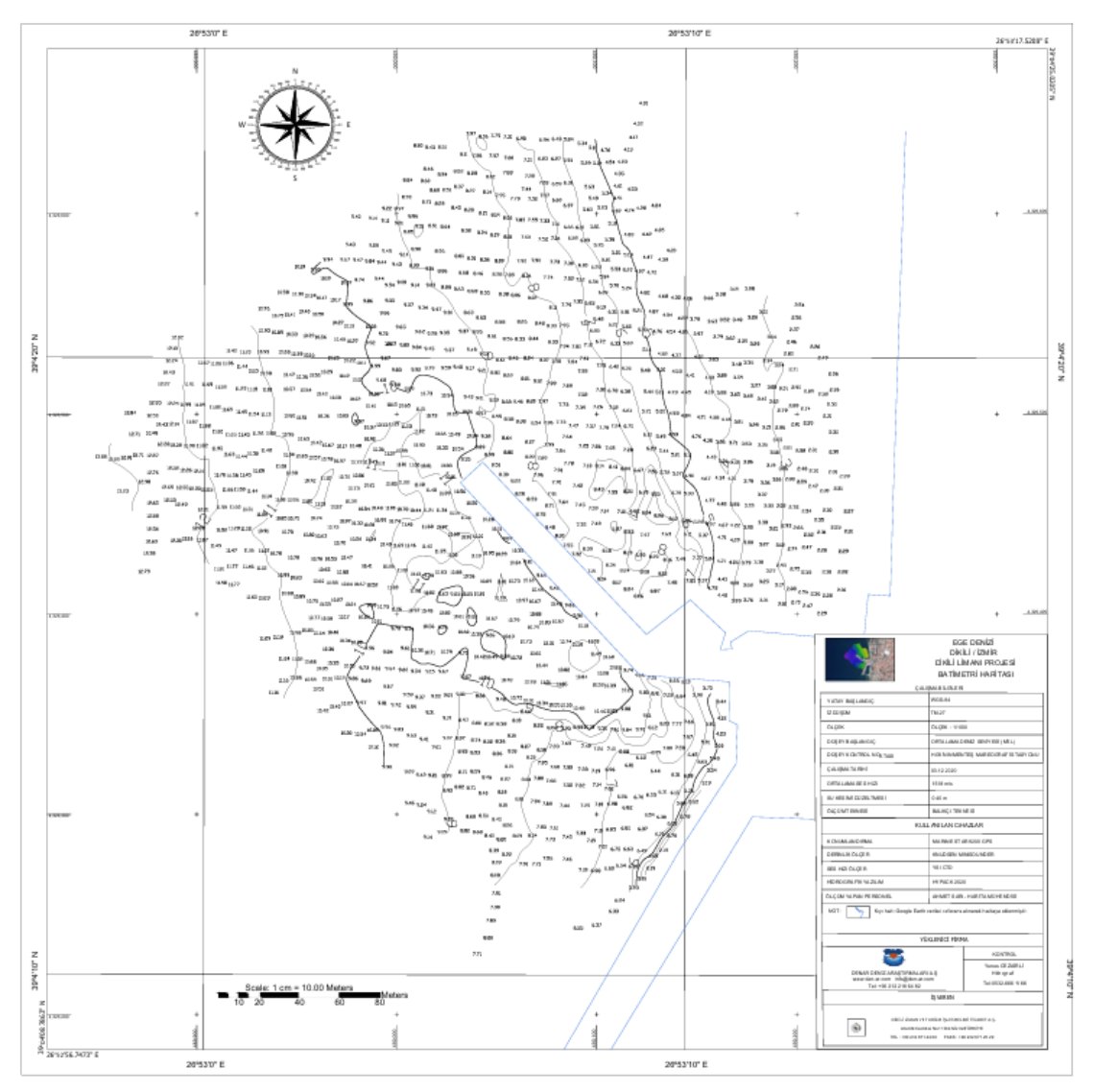
A hydrographic survey chart showing seabed depth measurements across the port area and berthing zone. Alongside depths, the manoeuvring area and approach channel figures are based on these measurements.
Measurements were carried out using a single-beam echosounder and precise positioning equipment, referenced to mean sea level.
Click to enlarge ↗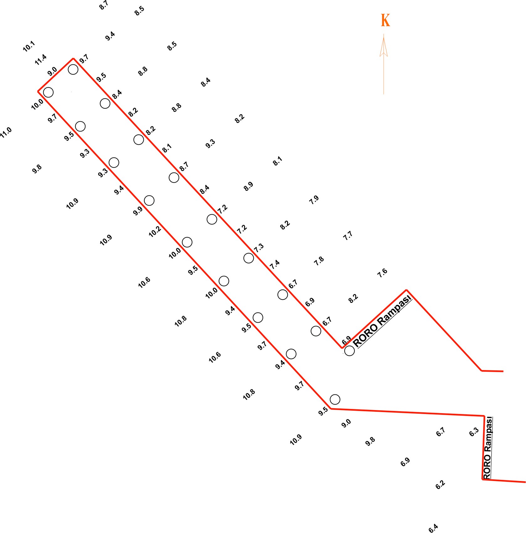
A working sketch showing spot soundings taken along the quay line together with the position of the RORO ramps. It is used in berth planning to identify the section of quay suited to a vessel's draft.
Click to enlarge ↗